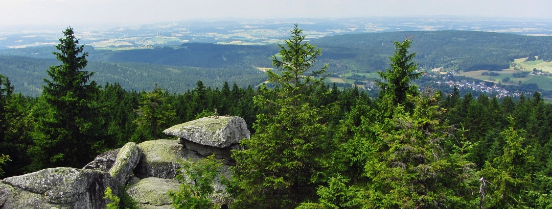
Naturpark Fichtelgebirge
Area: 1011.38 km²

Activities in Naturpark Fichtelgebirge
Attractions in Naturpark Fichtelgebirge
Highlights
Silent forest lakes, rugged granite quarries, and the Epprechtstein castle ruins are witnesses to the old stonemason craft and today offer romantic ...
This eventful hike takes us from the Silberhaus near Tröstau initially to the Platte and then via the Seehaus to the three highest peaks of the ...
The two-day summit hike takes us – over a marathon distance of 42.2 kilometers – past 9 beautiful viewpoints from Weißenstadt to Wunsiedel.
One of Bavaria's most beautiful geotopes, definitely the most adventurous for the whole family. Ruined castle ruins, dark caves, steep stairs, ...
The European long-distance path E6 is an ambitious project that is intended to run continuously from northern Finland to Turkey. On the German ...
The Goldsteig trail extends to the edge of the Upper Palatinate Forest and then splits into two variants. The southern route runs across the ...
Over almost 500 km, we hike on the Franconian Mountain Route through the Franconian Forest Nature Park, the Fichtel Mountains, Franconian ...
The Thiesenring leads us to numerous viewpoints, historic sites, and natural treasures, allowing us to discover nature and history at the same time.
The Saar-Mosel-Main long-distance cycle path or D-Route 5 runs from Saarbrücken along the Saar, Mosel, Rhine, and Main rivers to the Czech border.
From Fichtelsee via Ochsenkopf, Weißmainquelle, Schneeberg and Nußhardt to the Seehaus accommodation house. From there via Platte, Silberhaus, Hohe ...
Discover the region
Trip planning
Weather
Reviews
